Get knolls base areas
get_knolls.RdGet knolls base area data in a spatial grid or polygon
Arguments
- spatial_grid
sforterra::rast()grid, e.g. created usingget_grid(). Alternatively, if raw data is required, ansfpolygon can be provided, e.g. created usingget_boundary(), and setraw = TRUE.- raw
logicalif TRUE,spatial_gridshould be ansfpolygon, and the raw data in that polygon(s) will be returned- name
string; name of raster or column in sf object that is returned- antimeridian
Does
spatial_gridspan the antimeridian? If so, this should be set toTRUE, otherwise set toFALSE. If set toNULL(default) the function will try to check ifspatial_gridspans the antimeridian and set this appropriately.
Value
For gridded data, a terra::rast() or sf object, depending on the
spatial_grid format. If raw = TRUE an sf object crop and intersected
with the polygon supplied.
Details
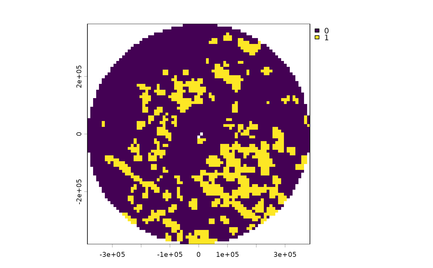
Knolls are small seamounts; seamounts with peaks 200-1000 m higher than the surrounding seafloor (Morato et al., 2008). The knolls base area data is from Yesson et al. 2011
Examples
# Get EEZ data first
bermuda_eez <- get_boundary(name = "Bermuda")
#> Cache is fresh. Reading: /tmp/RtmpHK44st/eez-2205f12f/eez.shp
#> (Last Modified: 2026-07-03 01:41:15.982945)
# Get raw knolls data for Bermuda's EEZ
knolls <- get_knolls(spatial_grid= bermuda_eez, raw = TRUE)

# Get gridded knolls data: first create a grid
bermuda_grid <- get_grid(boundary = bermuda_eez,
  crs = '+proj=laea +lon_0=-64.8108333 +lat_0=32.3571917 +datum=WGS84 +units=m +no_defs',
  resolution = 10000)
knolls_gridded <- get_knolls(spatial_grid = bermuda_grid)
#> although coordinates are longitude/latitude, st_intersection assumes that they
#> are planar
terra::plot(knolls_gridded)