All Images
Image 1 of 1: ‘RStudio layout’
Image 1 of 1: ‘RStudio layout with .R file open’
Image 1 of 1: ‘A screenshot of a project folder containing multiple versions of data, analysis scripts, figures, and results files’
Image 1 of 1: ‘Illustration of selecting two columns from a dataframe’
Image 1 of 1: ‘Illustration of multiple dataframes created by piping a dataframe to group_by’
Image 1 of 1: ‘illustration of creating a summary dataframe from grouped data’
Image 1 of 1: ‘[decorative]’
Image 1 of 1: ‘Raster plot with ggplot2 using the viridis color scale’
Raster plot with ggplot2 using the viridis color scale
Image 1 of 1: ‘UTM zones in the USA.’
Image 1 of 1: ‘Multi-band raster image’
Image 1 of 1: ‘[decorative]’
Image 1 of 1: ‘[decorative]’
Image 1 of 1: ‘[decorative]’
Image 1 of 1: ‘[decorative]’
Image 1 of 1: ‘[decorative]’
Image 1 of 1: ‘[decorative]’
Image 1 of 1: ‘[decorative]’
Image 1 of 1: ‘[decorative]’
Image 1 of 1: ‘[decorative]’
Image 1 of 1: ‘[decorative]’
Image 1 of 1: ‘[decorative]’
Image 1 of 1: ‘[decorative]’
Image 1 of 1: ‘[decorative]’
Image 1 of 1: ‘[decorative]’
Image 1 of 1: ‘[decorative]’
Image 1 of 1: ‘[decorative]’
Image 1 of 1: ‘[decorative]’
Image 1 of 1: ‘Source: National Ecological Observatory Network (NEON).’
Image 1 of 1: ‘[decorative]’
Image 1 of 1: ‘[decorative]’
Image 1 of 1: ‘[decorative]’
Image 1 of 1: ‘[decorative]’
Image 1 of 1: ‘[decorative]’
Image 1 of 1: ‘Extent image’
Image Source:National Ecological Observatory
Network (NEON).
Image 1 of 1: ‘[decorative]’
Image 1 of 1: ‘Map of the footpaths in the study area.’
Map of the footpaths in the study area.
Image 1 of 1: ‘Map of the footpaths in the study area where each feature is colored differently.’
Map of the footpaths in the study area where each feature is colored
differently.
Image 1 of 1: ‘Map of the boardwalks in the study area.’
Map of the boardwalks in the study area.
Image 1 of 1: ‘Map of the stone walls in the study area where each feature is colored differently.’
Map of the stone walls in the study area where each feature is colored
differently.
Image 1 of 1: ‘Roads and trails in the area.’
Roads and trails in the area.
Image 1 of 1: ‘Roads and trails in the area demonstrating how to use different line thickness and colors.’
Roads and trails in the area demonstrating how to use different line
thickness and colors.
Image 1 of 1: ‘Roads and trails in the area with different line thickness for each type of paths.’
Roads and trails in the area with different line thickness for each type
of paths.
Image 1 of 1: ‘Roads and trails in the study area using thicker lines than the previous figure.’
Roads and trails in the study area using thicker lines than the previous
figure.
Image 1 of 1: ‘Map of the paths in the study area with large-font.’
Map of the paths in the study area with large-font.
Image 1 of 1: ‘Map of the paths in the study area with large-font and an outline around the legend.’
Map of the paths in the study area with large-font and an outline around
the legend.
Image 1 of 1: ‘Roads and trails in the area highlighting paths where horses and bikes are allowed.’
Roads and trails in the area highlighting paths where horses and bikes
are allowed.
Image 1 of 1: ‘Map of the continental United States where the state lines are colored by region.’
Map of the continental United States where the state lines are colored
by region.
Image 1 of 1: ‘[decorative]’
Image 1 of 1: ‘[decorative]’
Image 1 of 1: ‘[decorative]’
Image 1 of 1: ‘[decorative]’
Image 1 of 1: ‘[decorative]’
Image 1 of 1: ‘[decorative]’
Image 1 of 1: ‘[decorative]’
Image 1 of 1: ‘[decorative]’
Image 1 of 1: ‘[decorative]’
Image 1 of 1: ‘Maps of the United States using data in different projections. Source: opennews.org, from: https://media.opennews.org/cache/06/37/0637aa2541b31f526ad44f7cb2db7b6c.jpg’
Image 1 of 1: ‘[decorative]’
Image 1 of 1: ‘[decorative]’
Image 1 of 1: ‘[decorative]’
Image 1 of 1: ‘[decorative]’
Image 1 of 1: ‘[decorative]’
Image 1 of 1: ‘[decorative]’
Image 1 of 1: ‘[decorative]’
Image 1 of 1: ‘Extent illustration’
Image 1 of 1: ‘[decorative]’
Image 1 of 1: ‘[decorative]’
Image 1 of 1: ‘[decorative]’
Image 1 of 1: ‘[decorative]’
Image 1 of 1: ‘[decorative]’
Image 1 of 1: ‘[decorative]’
Image 1 of 1: ‘[decorative]’
Image 1 of 1: ‘Image shows raster information extraction using 20m polygon boundary.’
Image 1 of 1: ‘[decorative]’
Image 1 of 1: ‘Image shows raster information extraction using 20m buffer region.’
Image 1 of 1: ‘[decorative]’
Image 1 of 1: ‘[decorative]’
Image 1 of 1: ‘[decorative]’
Image 1 of 1: ‘[decorative]’
Image 1 of 1: ‘[decorative]’
Image 1 of 1: ‘[decorative]’
Image 1 of 1: ‘[decorative]’
Image 1 of 1: ‘[decorative]’
Image 1 of 1: ‘[decorative]’
Image 1 of 1: ‘[decorative]’
Image 1 of 1: ‘[decorative]’
Image 1 of 1: ‘[decorative]’

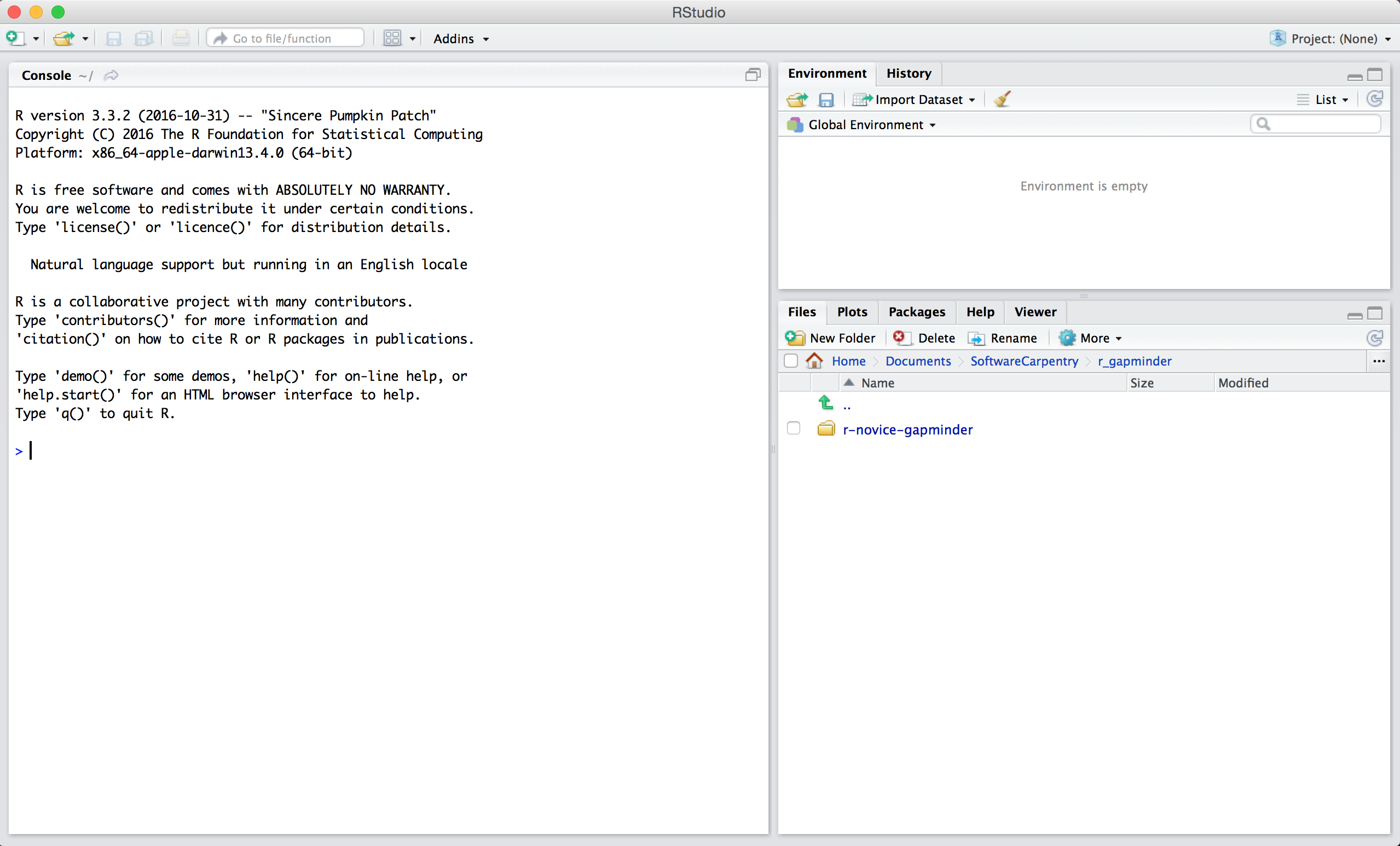
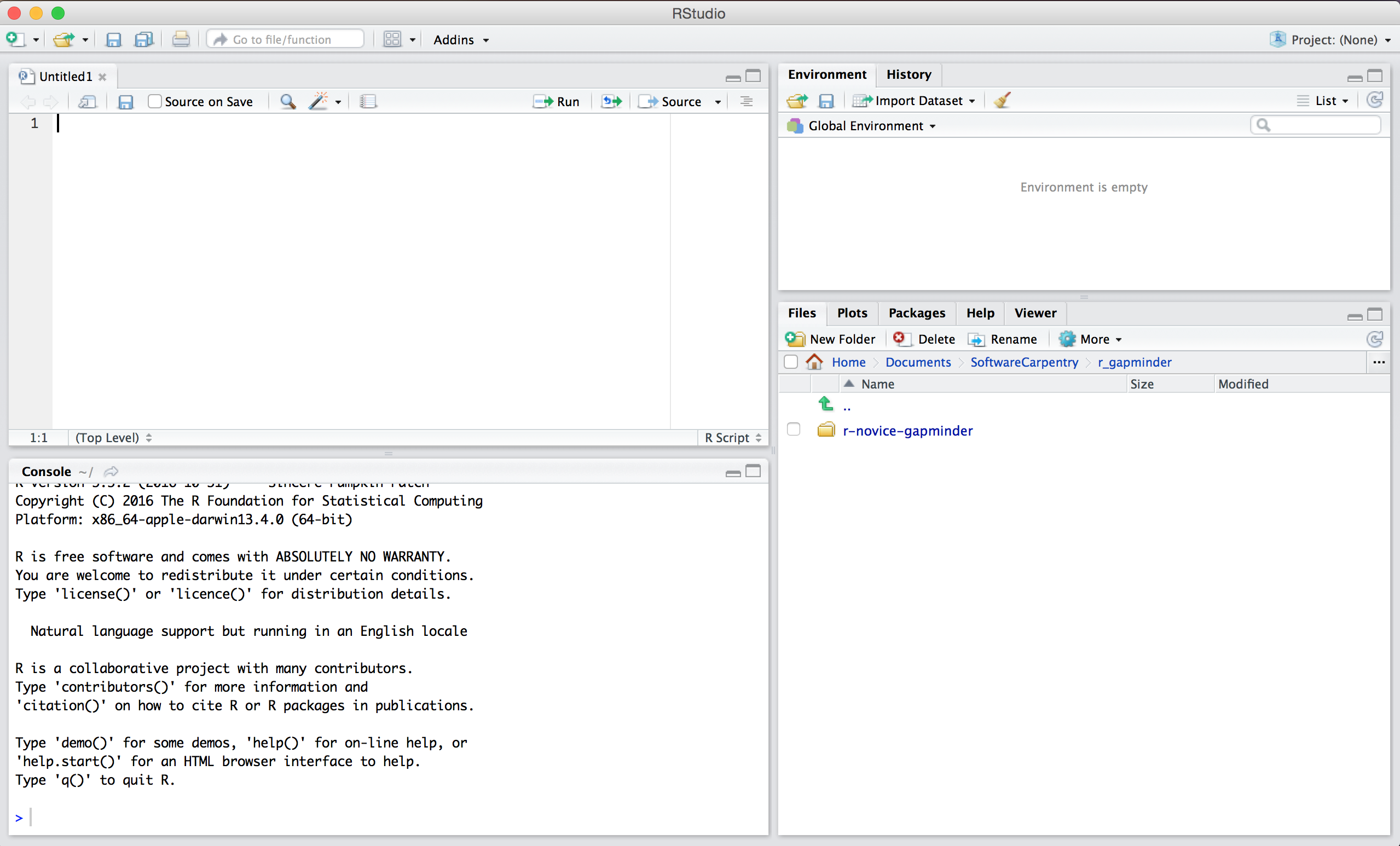
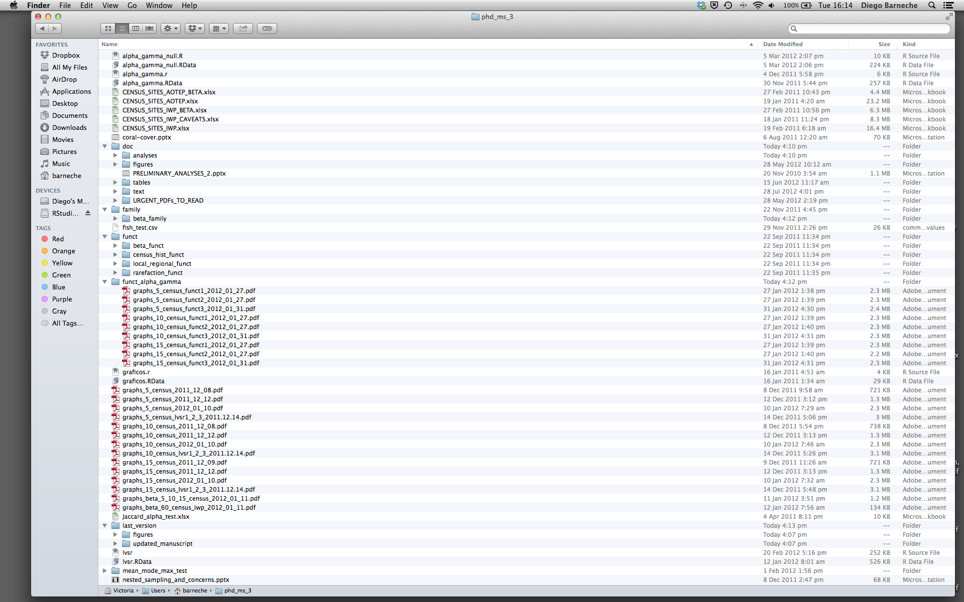
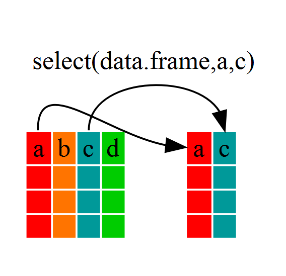
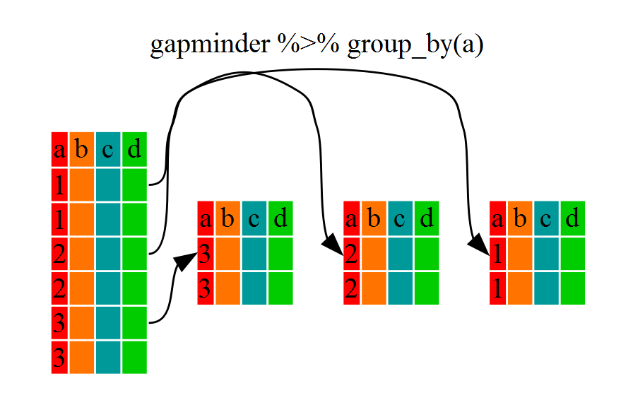
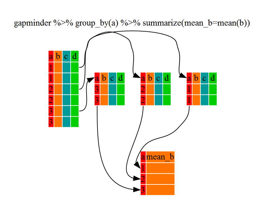
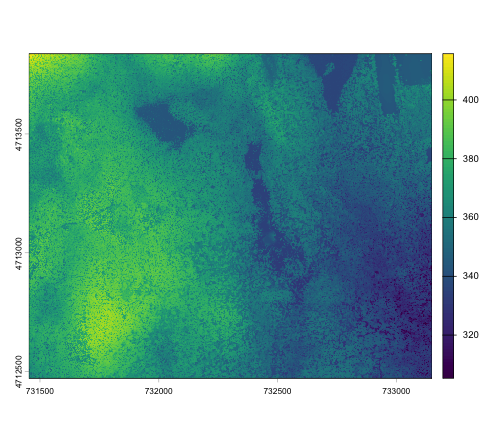
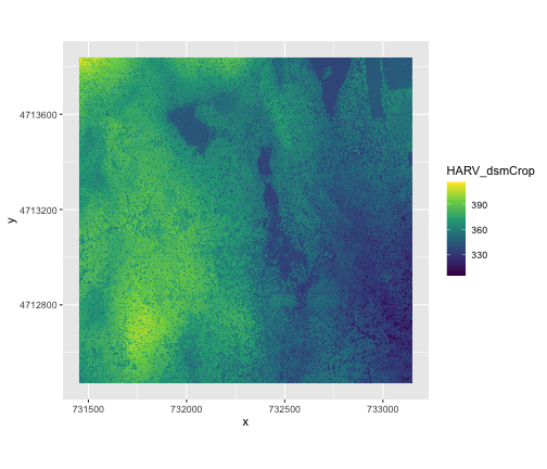
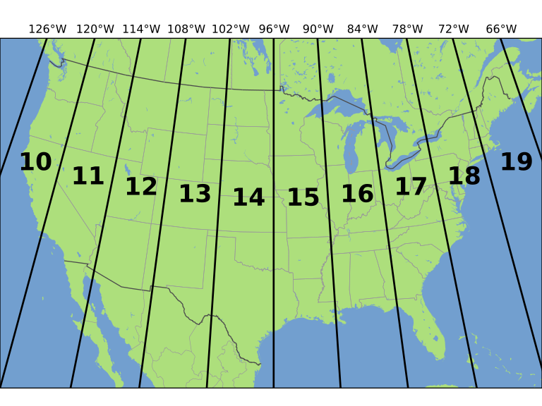

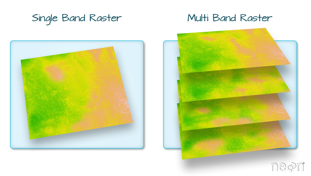
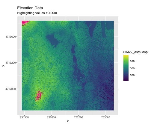
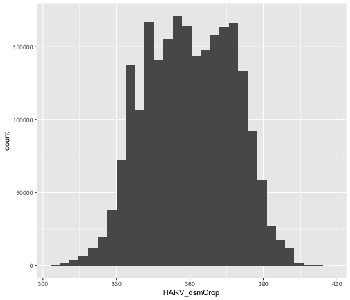
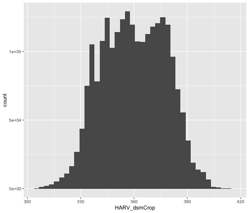
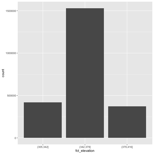
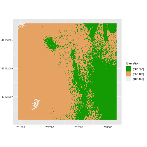
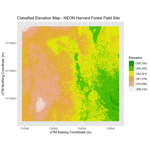
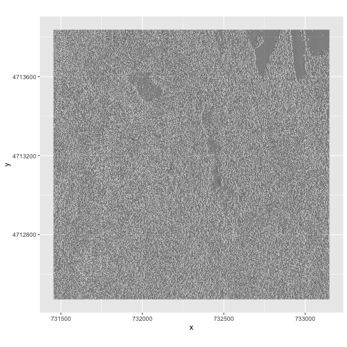
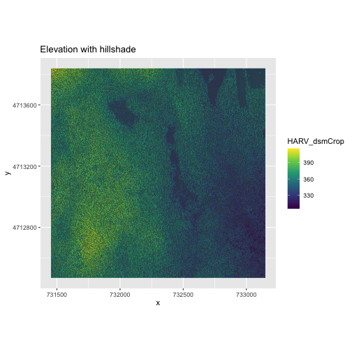
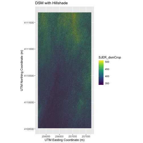
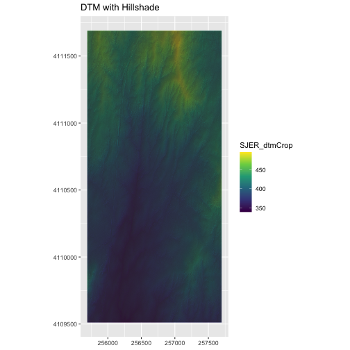
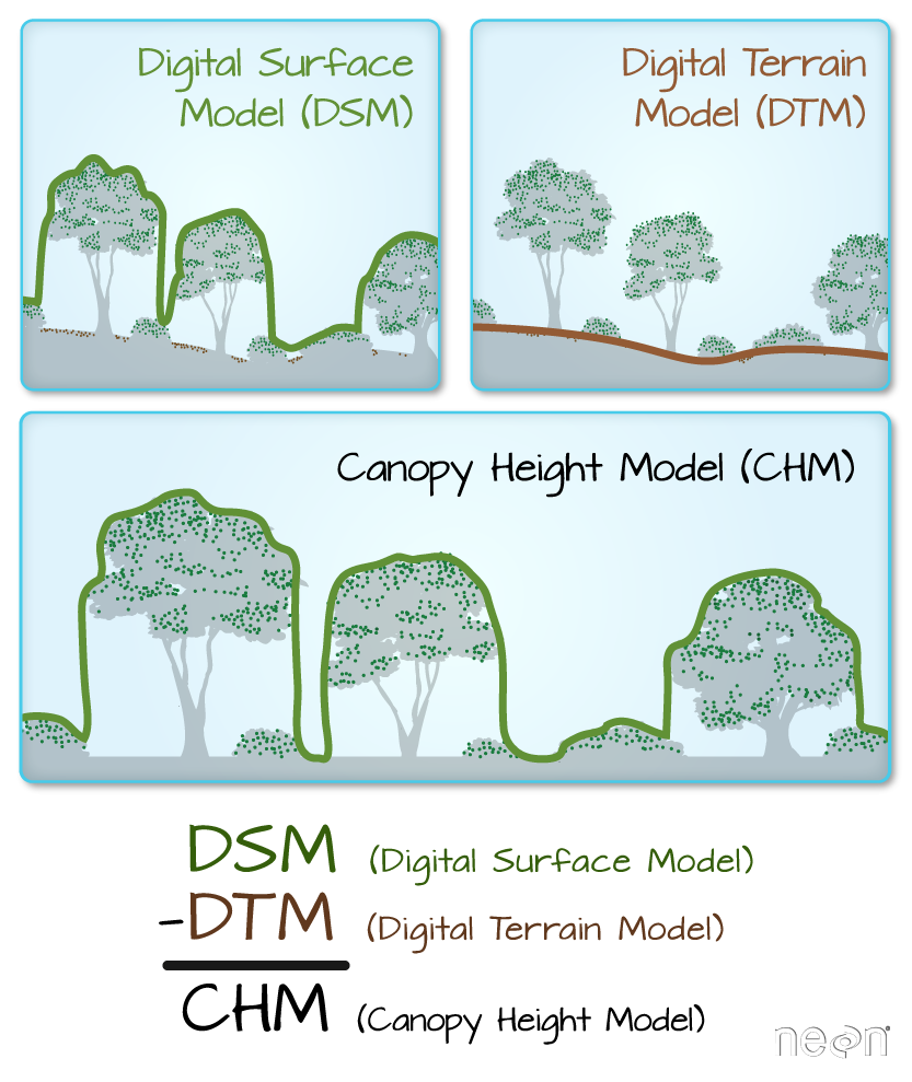
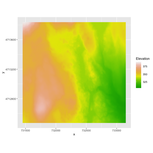
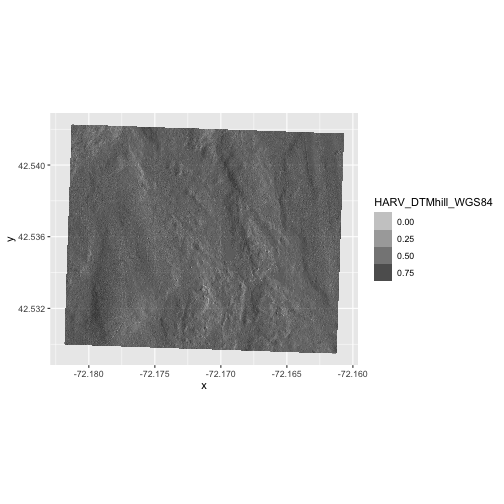
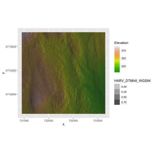
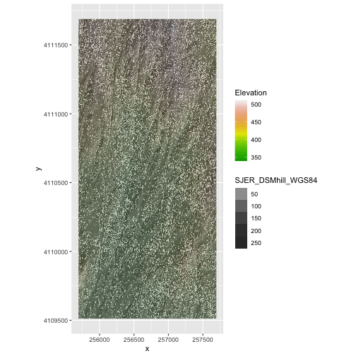
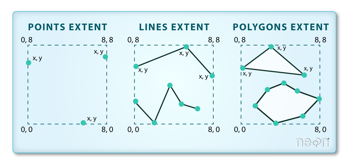
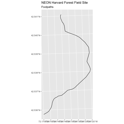
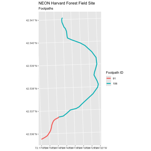
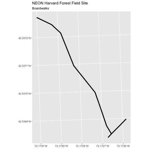
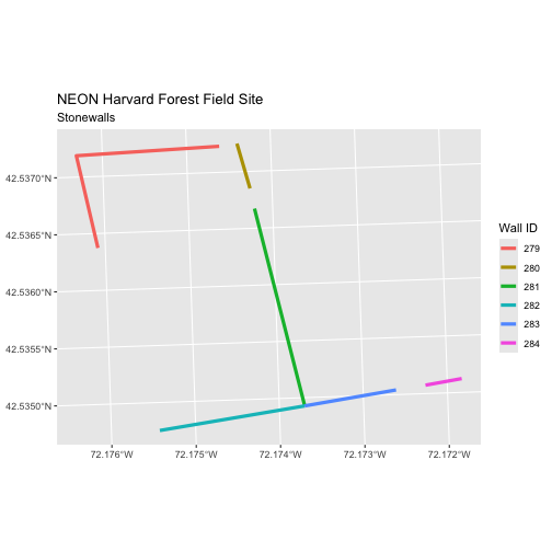
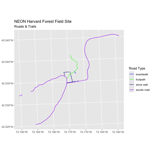
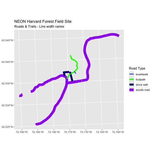
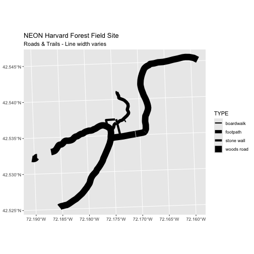
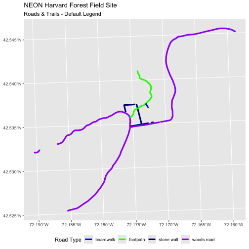
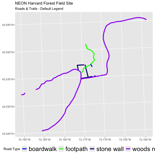
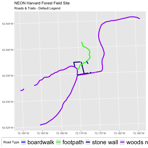
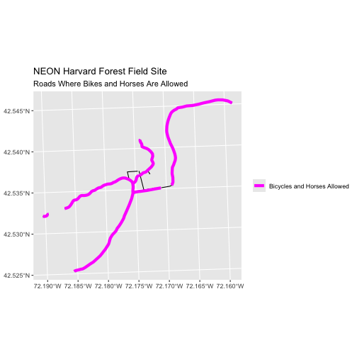
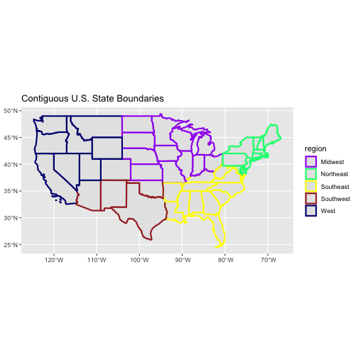
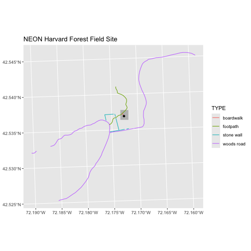
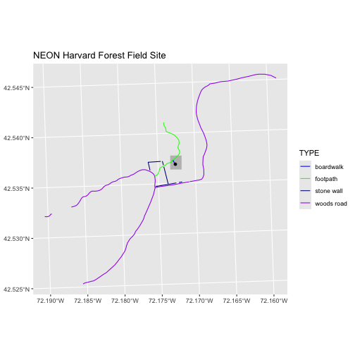
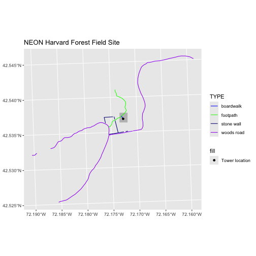
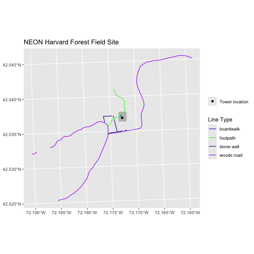
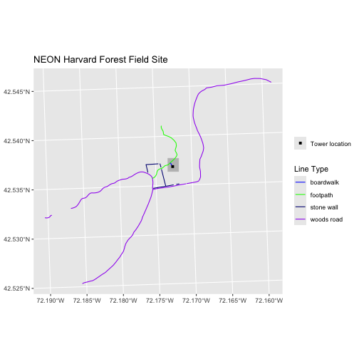
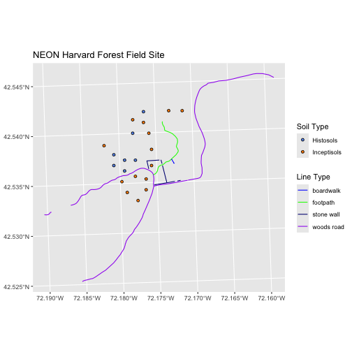
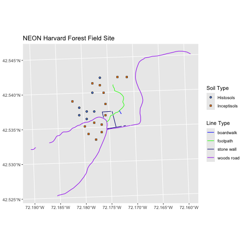
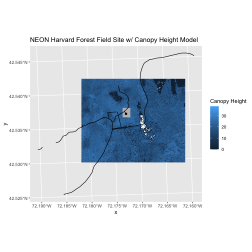
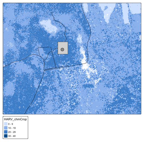
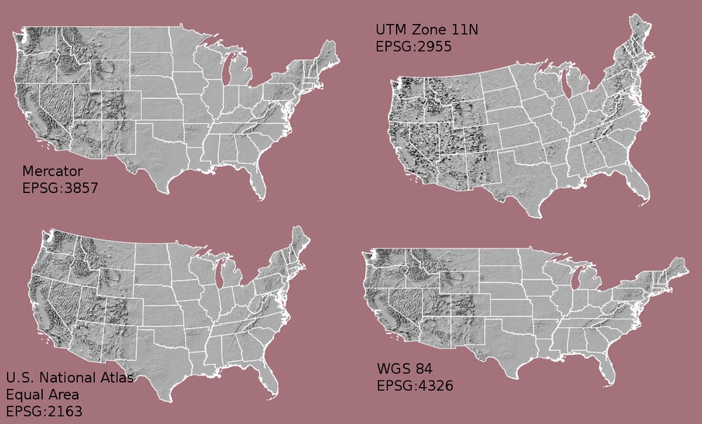
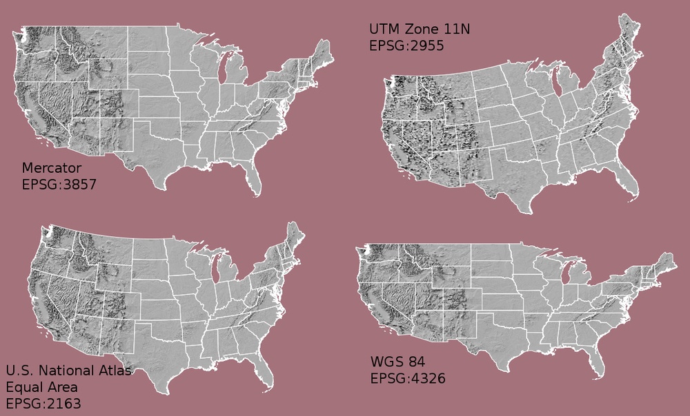
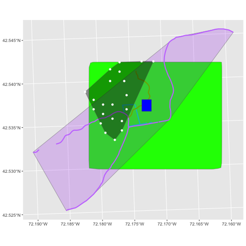
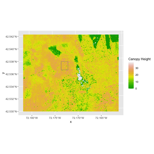
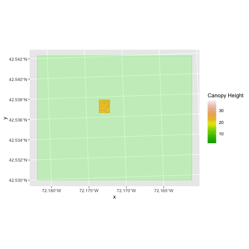
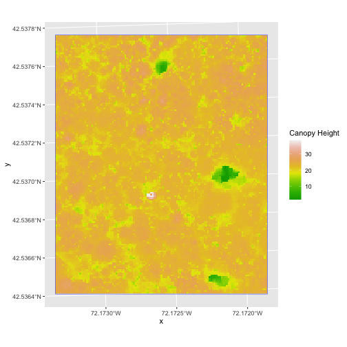
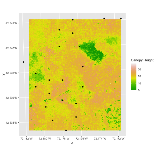
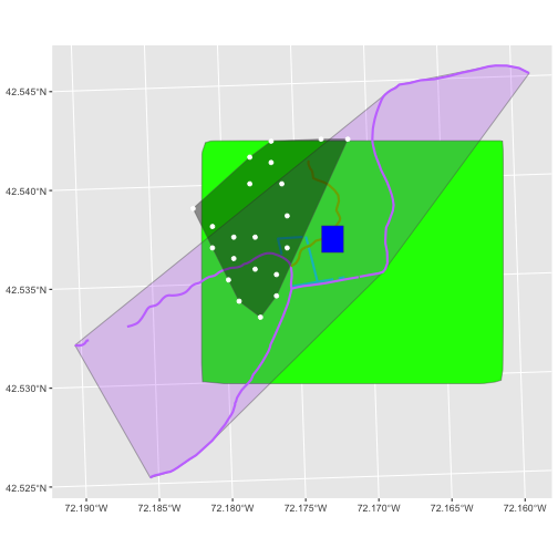
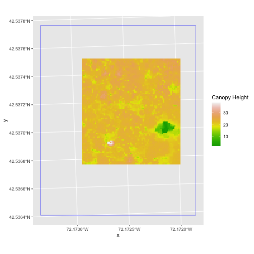
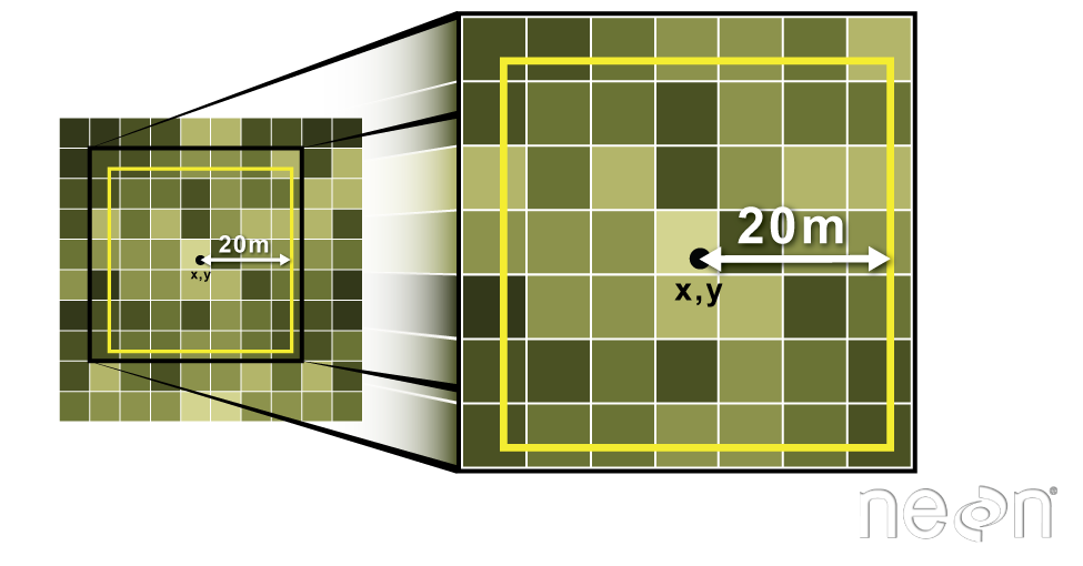 Image Source: National Ecological Observatory Network (NEON)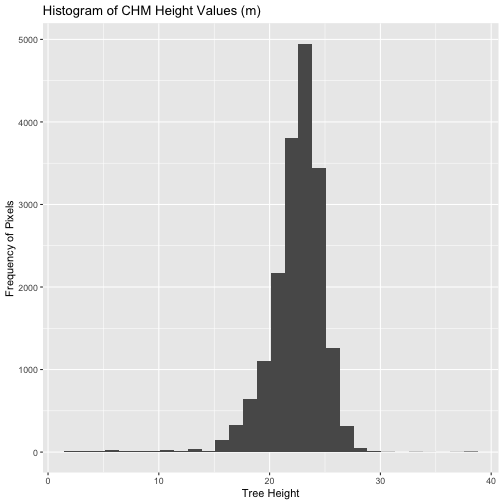
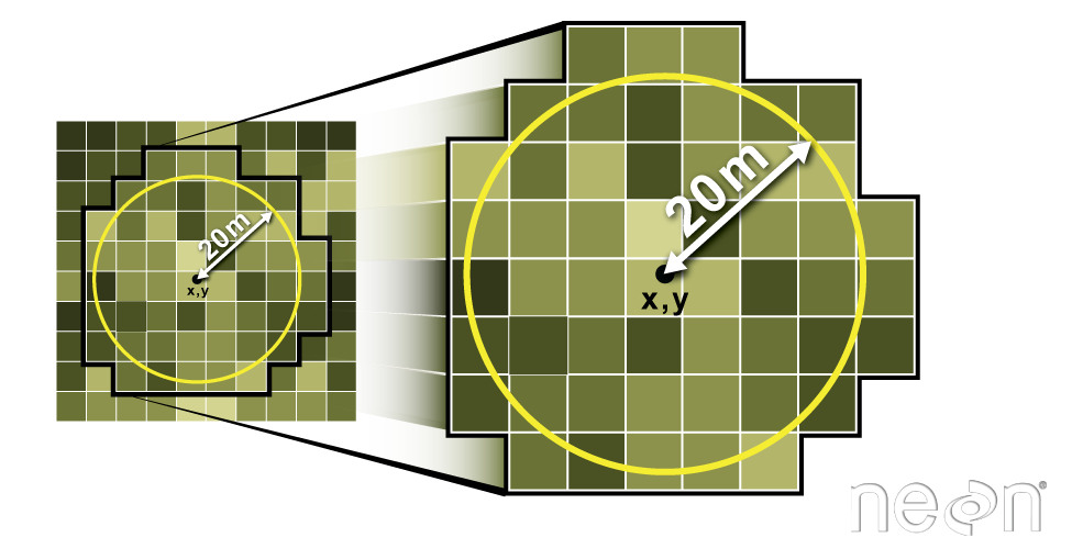 Image Source: National Ecological Observatory Network (NEON)